activity - Fri, 06/12/2024 - 15:48
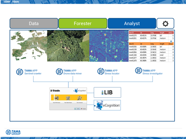
Remote sensing (from satellites and drones) based Digital Twin for forestry operations in two service levels: a) 'Monitoring’ service supporting forest operations to manage their whole field data in a concise and very easy to use way, accessible by mobile phone in the field and by computer in the office, and b) ‘MonitoringPro’ service allowing forest operations to identify individual trees affected by bark beetle and other stressors (e.g. drought) on a broad scale.
Target:
Organization:
ESA
Directorate:
TIA
Keywords:
Data
Drought
Forest
Geospatial Data
Satellite measurements
Regions:
Global
Type:
Demonstration Project
Status:
Completed


