SliDEM
Assessing the suitability of DEMs derived from Sentinel-1 for landslide volume estimation
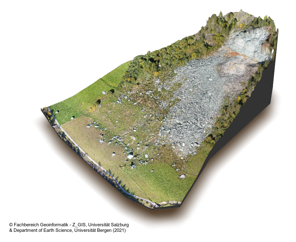
Digital elevation models (DEMs) serve as a basis for various geomorphological applications such as landform mapping, natural hazard assessment, and landslide characterisation. However, multitemporal DEMs that allow the estimation of topographic changes are rarely available. In SliDEM, we addressed this problem by developing an open-source-based workflow for the semi-automated generation of multi-temporal DEMs from Sentinel-1 radar data. We evaluated the workflow in terms of reliability, performance, reproducibility, and transferability and tested the suitability of the resulting DEMs for landslide volume estimation.
The SliDEM workflow represents an important contribution to the field of Earth Sciences by providing an open-source, low-cost, transferable, and semi-automated method for DEM generation. The workflow can facilitate multi-temporal topographic analysis within the field of natural hazard research. The project findings contribute to increasing our knowledge of the applicability of DEMs created using Sentinel-1. From a practical perspective, disaster risk management can benefit from efficient methods that deliver value-added information such as landslide volume estimations.