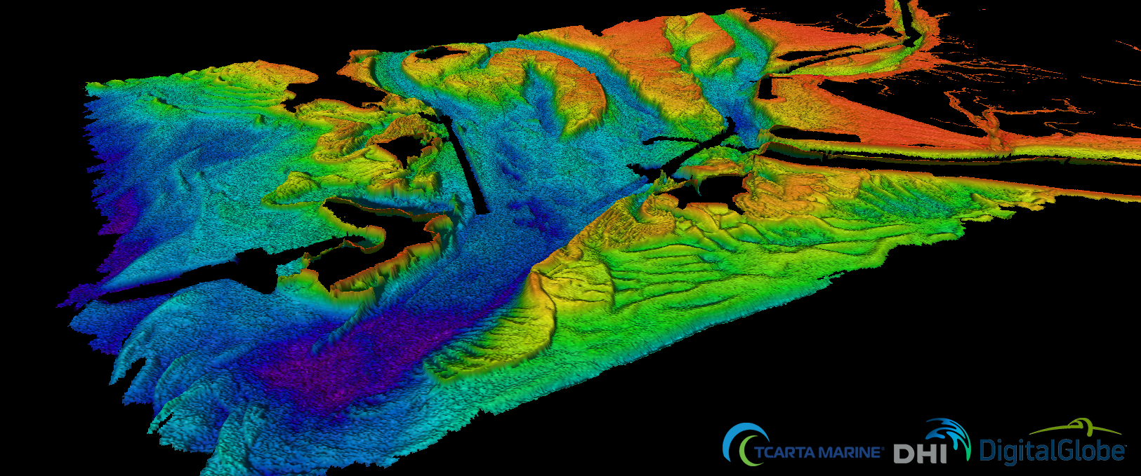
Bathymetry is the measurement of depth of water in oceans, seas or lakes. The Bathymetrics Data Portal service is focused on the coastal marine environment for the global market. Creation and commercialisation of a sample shallow water bathymetry dataset derived from very high-resolution satellite imagery. The target is to cover 26 % of the world's coasts, that will allow the consortium to develop it further after being in the market.
A web-based service has been created to provide immediate, off-the-shelf, online access to bathymetry derived from very high resolution satellite imagery. In order to meet production needs at a truly global scale an efficient production environment has been established with focus on efficient work flows and reduction of operator involvement.
There is currently a lack of shallow water bathymetric data around the world due to the high costs, lead-time, and health and safety issues involved in collecting this data using the more traditional data collection methods of Multi Beam Echo Sounder (MBES) from boats or Light Detection and Ranging (LiDAR) from aircraft. This satellite derived data service is of great interest to users globally across a number of sectors for use in activities such as feasibility and design of marine and coastal infrastructure, charting, construction and environmental impact studies.


