According to the United Nations Environment programme (UNEP) , up to 40% of the world's land is degraded, directly affecting half of the global population and threatening biodiversity, food security, and livelihoods. Tackling land degradation is more urgent than ever as pressures from climate change and human activity intensify.SEN4LDN helps countries track and combat land degradation by using high-resolution satellite data to monitor changes in land cover and productivity.
Source : UNEP
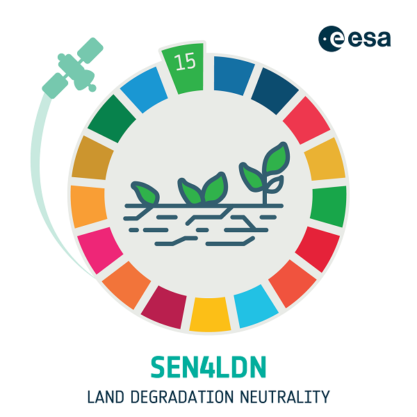
SEN4LDN (Sentinels for Land Degradation Neutrality) is an initiative in partnership with the UNCCD Secretariat and the GEO LDN initiative.
The objective is to significantly improve national land degradation assessments by increasing spatial resolution (up to 10 meters) and enabling countries to plan and monitor Land Degradation Neutrality (LDN) interventions more effectively. The project focuses on integrating land cover (LC) and land productivity (LP) dynamics into a probabilistic, continuous land degradation index.
National-scale demonstrations are being conducted in Portugal, Uganda, and Colombia, with land degradation maps produced for 2018 and 2023.