Multi-Frequency SAR Data Fusion in Support of Global Climate Monitoring
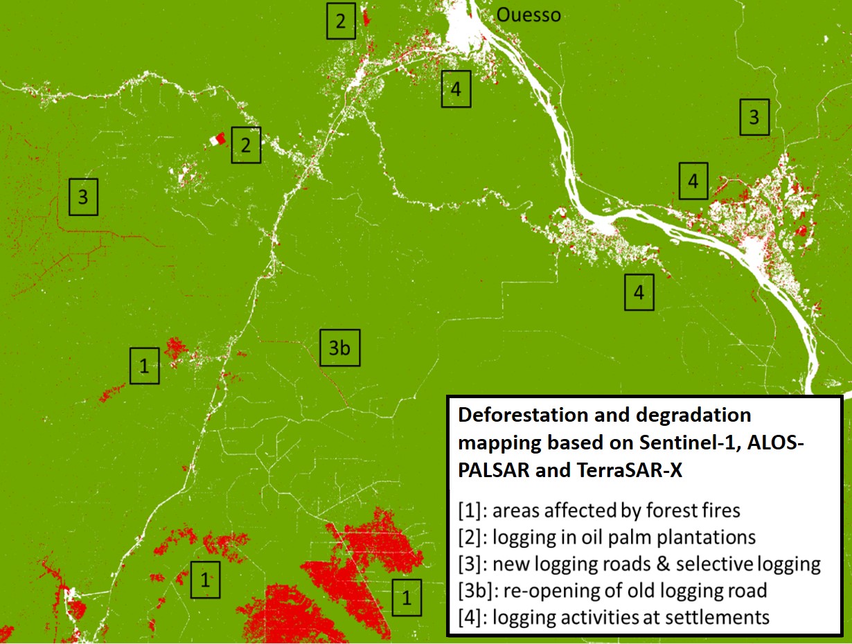
The continuous availability of multi-frequency SAR (Synthetic Aperture Radar) data acquired by the L-Band ALOS-2 PALSAR, the C-band Sentinel-1, and the X-Band TerraSAR-X missions provides increased potentials to monitor the Earth by SAR image data. In this respect, advanced methods for synergistic use of multi-frequency SAR data in the application fields of tropical forest inventory on the one hand as well as mapping of ice dynamics on the other hand. Appropriate time series analysis allows to retrieve products and geophysical parameters indicating forest degradation and deforestation, or motion of glaciers and ice sheets. Aiming at applications in environmental monitoring and climate research, these services may be well utilized in operational Copernicus core and down-stream services on land monitoring, alpine monitoring and global cryosphere monitoring.
EO (Earth Observation) based technologies are the only alternative for continuous operational monitoring of environmental areas like tropical forests or ice and glacier regions on smaller scales. Therefore, SAR image data, and multi-frequency data sets in particular, are of increasing benefit due to their all-weather availability, while the use of optical satellite in such regions frequently is hampered by clouds and cloud shadows. Multi-frequency SAR data at L-, C- and X-band definitely offer new opportunities in support of climate monitoring.


