SYNSENT
Synergistic Use of Sentinel Missions for Monitoring Cryosphere and Surface Deformation.
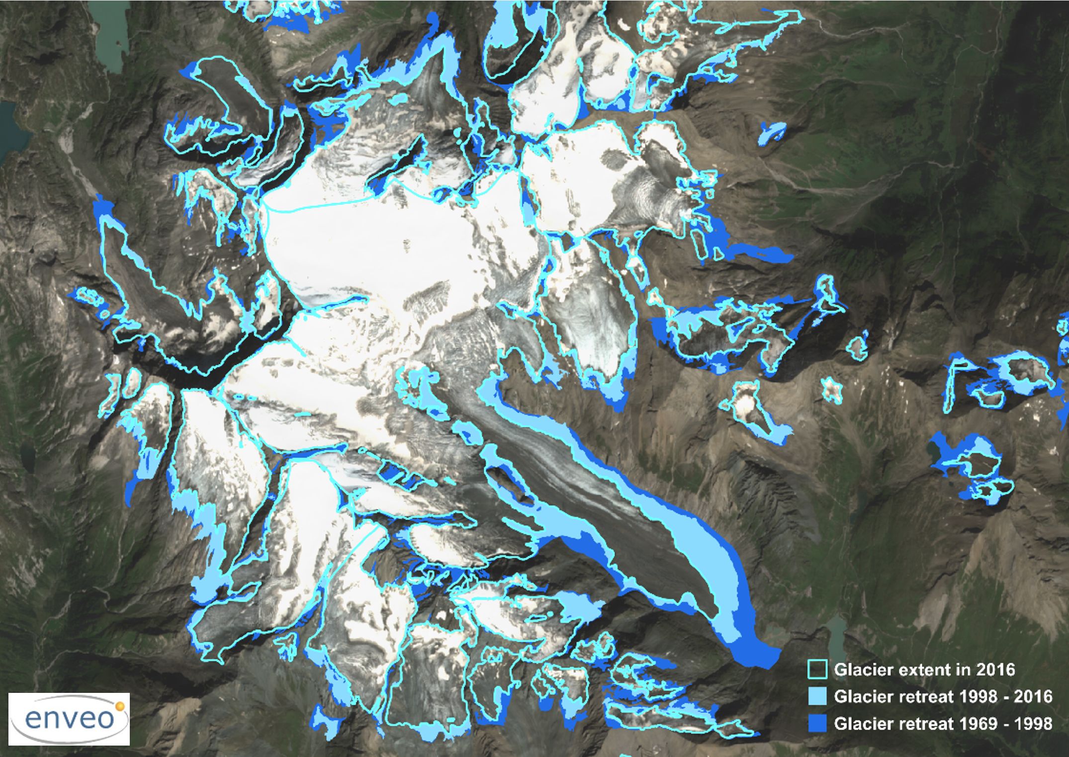
The joint usage of SAR and optical satellite data of the Copernicus Sentinel-1 and Sentinel-2 missions provides added value for monitoring ice motion, glacier zones and late summer snow lines, surface motion and deformation. To benefit from both satellite systems, accurate spatial matching of the satellite data from the different sensors is mandatory. The developed methods for integration of SAR and optical satellite data provides significant improvements regarding information content and quality of the products compared to conventional procedures based on single sensors.
The achievements of this project form the basis for several follow-on activities exploiting the complementary information content of Sentinel-1 SAR and Sentinel-2 optical satellite data for various applications. This includes the monitoring of the ice dynamics in Greenland and Antarctica in the frame of the ESA Climate Change Initiative and Copernicus Climate Change Service, and for generating advanced snow cover and melt extent products in the frame of the Copernicus High Resolution Snow & Ice Service. The new methods build also the basis for further developments for advanced pre-processing of satellite data resulting in innovative snow and land ice products.

