activity - Thu, 26/09/2024 - 10:46
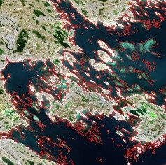
This project aims to lower the cost and improve the accuracy of satellite-derived bathymetry, across the full range of shallow waters found on Earth. The primary impact will be to improve safety of navigation, reducing the risk of accidents from grounding and its resulting marine pollution, as well as lower fuel costs and CO2 emissions from marine transportation.
Target:
Organization:
CSA
Directorate:
Space Utilization / smartEarth
Keywords:
Marine
Pollution
Regions:
Global
Website:
Type:
Digital Platform Services
Status:
Ongoing