Exploring the Sentinel-1 and Sentinel-2 Data Cubes for Supporting Crop Classification with EODC
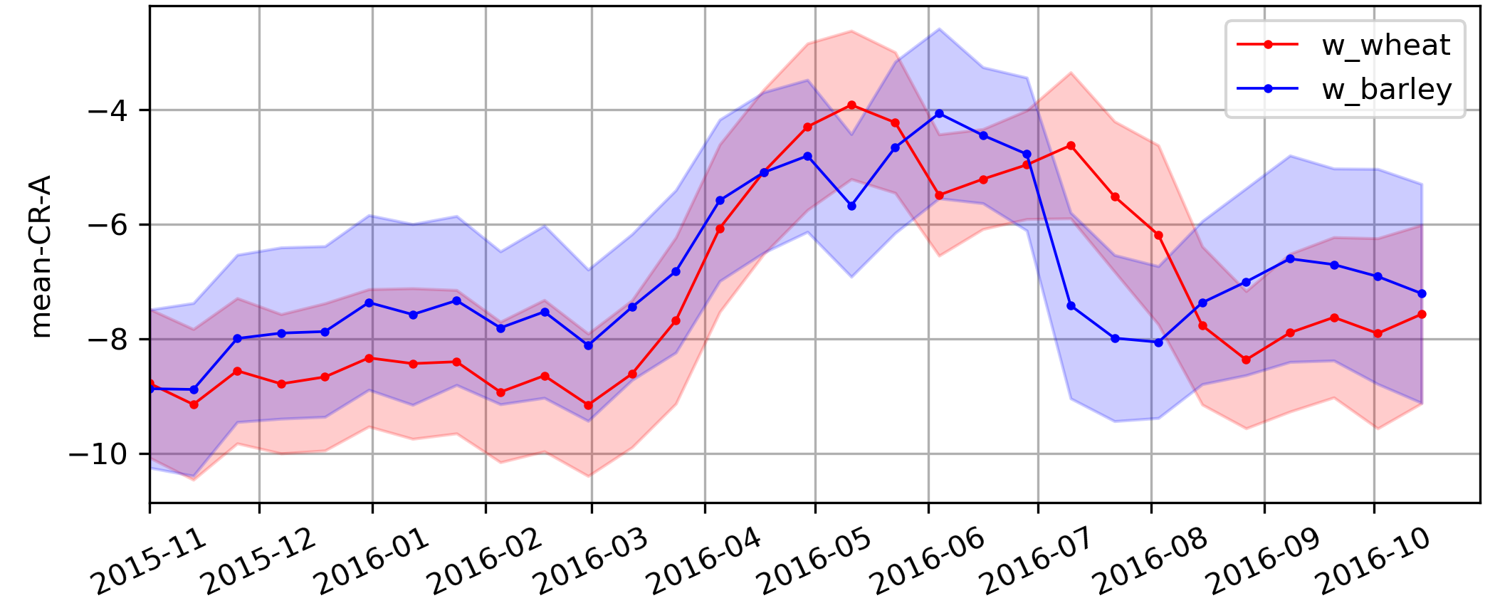
Worldwide, wheat and barley are the second- and fourth most produced cereals worldwide. However, some important crops are still notoriously difficult to separate, most importantly wheat and barley. As they belong to a similar botanical taxonomy, they are challenging to separate from space. The best hope to distinguish crops is using 10-50m spatial resolution satellite image time series such as provided by Sentinel-1 and Sentinel-2 satellites. The aim of this project was to study the capability of S-1 and S-2 to distinguish major crops, including winter wheat and winter barley, and to use the two satellites along with weather data to set up an automatic crop classification algorithm with accuracies above 95%. For this purpose, different state-of-the-art machine learning (ML) algorithms were tested.
The project was able to show that S-1 and S-2 observations are highly suitable for the automatic classification of major crops, including winter wheat and winter barley. Moreover, it was shown that the same Machine Learning model can be applied in regions with different climates all over Europe. The methods and results are documented in the scientific publication of Reuss et al. (2021). These results along with the harmonized Land Parcel Identification System database pave the way for upcoming scientific and business opportunities for the project partners.


