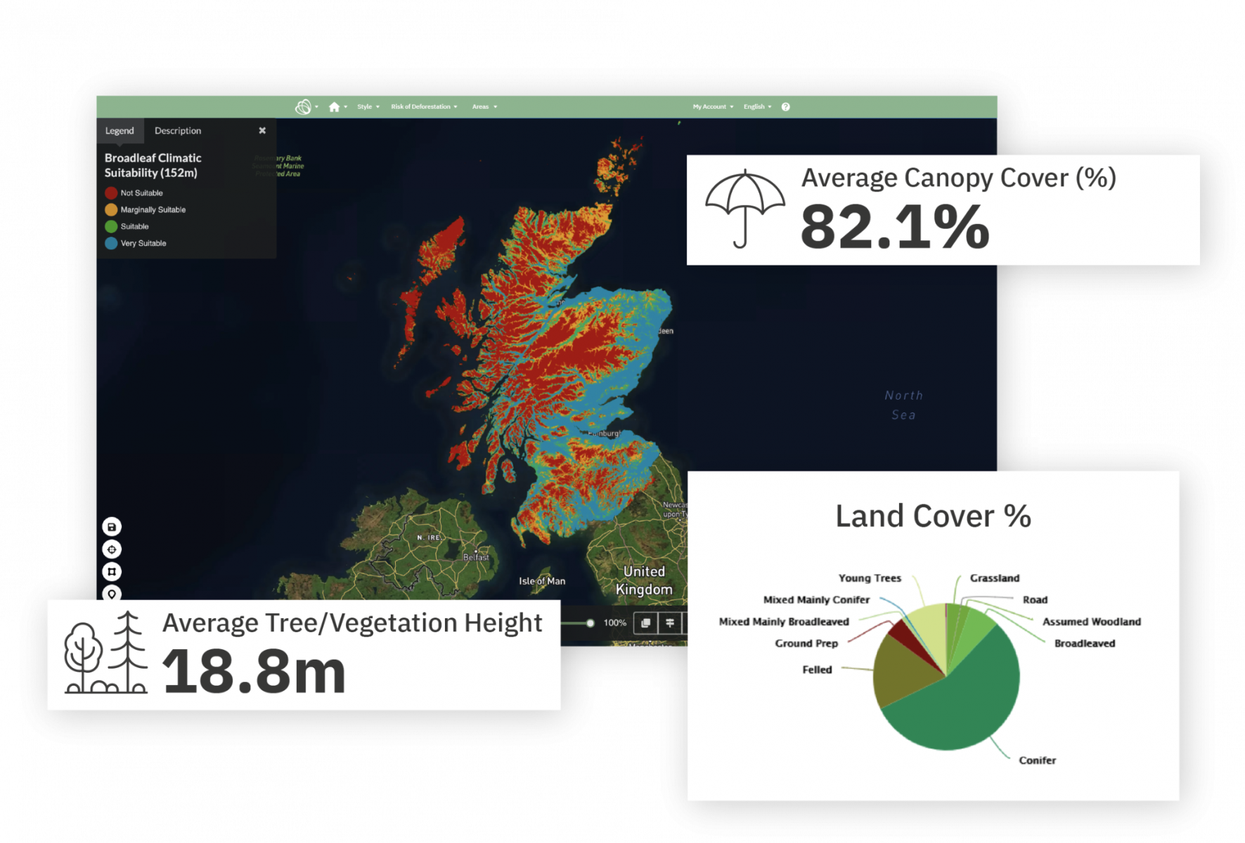
The Scottish Earth Observation Service (SEOS) project delivers a Vegetation Condition Scotland (VCS) mapping and monitoring service to address environment and land management issues faced by a wide range of Scottish public and private sector organisations offering new ways of
gathering information about the assets under their stewardship. The service utilises a combination of airborne LiDAR, Sentinel-1 and Sentinel 2 time-series analysis to monitor changes in vegetation and ground surface conditions relevant to: detection of poor forest growth; wind throw and die back within commercial forest areas; mapping of remnant native woodland and its succession; monitoring of burn scars and subsequent vegetation regrowth on peatland; mapping accessibility in rural areas for sporting and leisure activities; forestry/timber sales; due diligence and operation.
activity - Fri, 06/12/2024 - 14:36
Target:
Organization:
ESA
Directorate:
TIA
Keywords:
Artificial Intelligence
Carbon cycle
Climate
Conservation
Disaster risk management
Earth Observation
Forestry
Geospatial Data
Habitat
Machine Learning
Regions:
Europe
Type:
Demonstration Project
Status:
Completed


