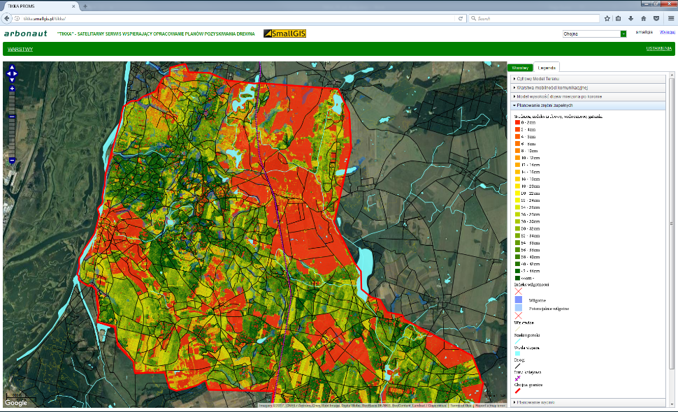
Enhanced Logging Operations (TIKKA)
The project’s objective is to design, develop and demonstrate a web-service for producing logging plans based on a combination of aerial LiDAR (Laser Imaging Detection and Ranging) data, Earth Observation satellite data, geo-located field plots and existing map databases. The proposed service has the potential to drastically change the economy of logging operations planning in Poland. Satellite Earth Observation data are instrumental for complementing LiDAR data providing annual updates, as well as for providing the primary logging operation planning information where LiDAR data is not available. Satellite Navigation is used both for referencing plot data and for validating logging plans.
Target:
Organization:
ESA
Directorate:
TIA
Keywords:
Earth Observation
Forest
Forestry
Geospatial Data
Land Management
Satellite measurements
Sustainability
Regions:
Europe
Type:
Demonstration Project
Status:
Completed

