Live Land
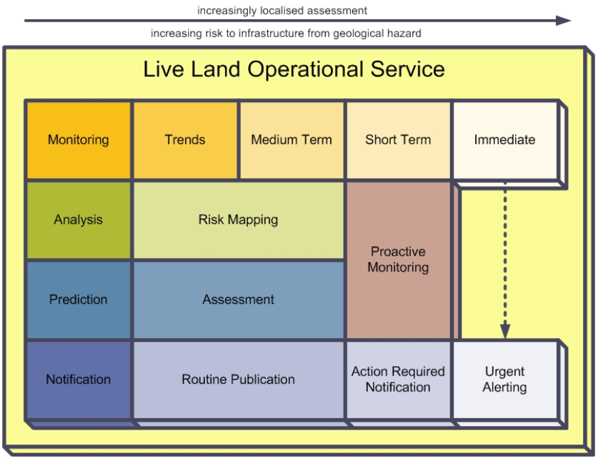
To establish Live Land as pre-operational service platform that will monitor and forecast landslide and subsidence events that could impact transport infrastructure and will alert geotechnical asset management teams accordingly.
The proposed services will provide to the users an overview of hazard susceptibility across the users transport network as well as local near-real time assessment of landslide and subsidence hazards at user-defined locations. SatEO data to perform InSAR processing and real-time measurement obtained from an innovative SatNav based in-situ sensor will be instrumental to feed the service with high quality measurements. For the users, Live Land will increase knowledge of exposure of assets to these hazards with consequential improvements to the identification of necessary maintenance and enhancement activities, leading to reduced disruptions and improved commercial performance.
Update: the project has undergone a Contract Change Notice.

