Application of Earth observation technologies for rural water management
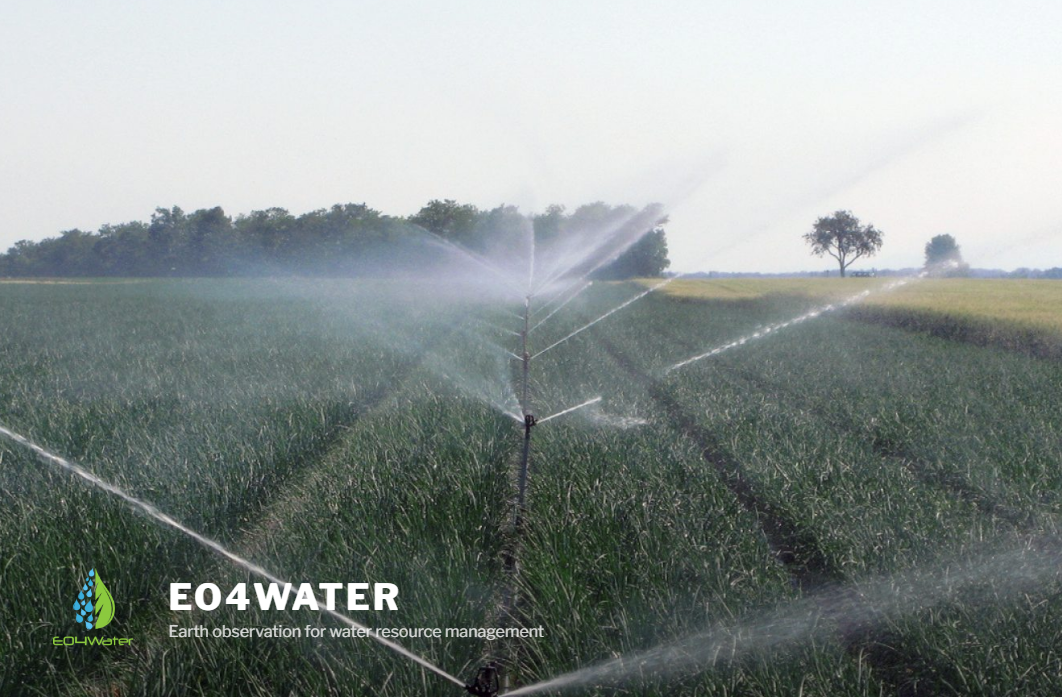
When rainfall is not sufficient, farmers irrigate their crops to avoid water deficits that reduce production. The only information available to help in the decision process is meteorological data that does not account for the large variability of crop development, soil conditions and agronomic practices. High resolution satellite images perfectly complement meteorological data with observations of the actual crop status over space and time. In the last years, experts focused on developing satellite-based technologies for irrigation management of water-intensive crops. In that case, irrigation was based on supplying a sufficient amount of water so that the crops produce at their maximum potential. A different irrigation strategy is to seek a compromise between cost of irrigation and loss of production. In this case, farmers irrigate their crops at the limit of the water stress conditions, to reduce costs and limit yield lost. This irrigation technique is adopted to optimize economic and technical resources, which are often limited. However, to support this irrigation strategy and avoid irreversible damages, the crop water stress conditions need to be closely monitored. For this purpose, EO4Water aimed at combining optical high resolution satellite data, in-situ agro-meteorological measurements and a soil water balance model to support irrigation management under all conditions.
To enhance the utilization of the limited water resources, EO4Water tools take into account the actual crop development and the soil water conditions to provide timely and personalized information that supports farmers in the irrigation process.