EO4Belmap
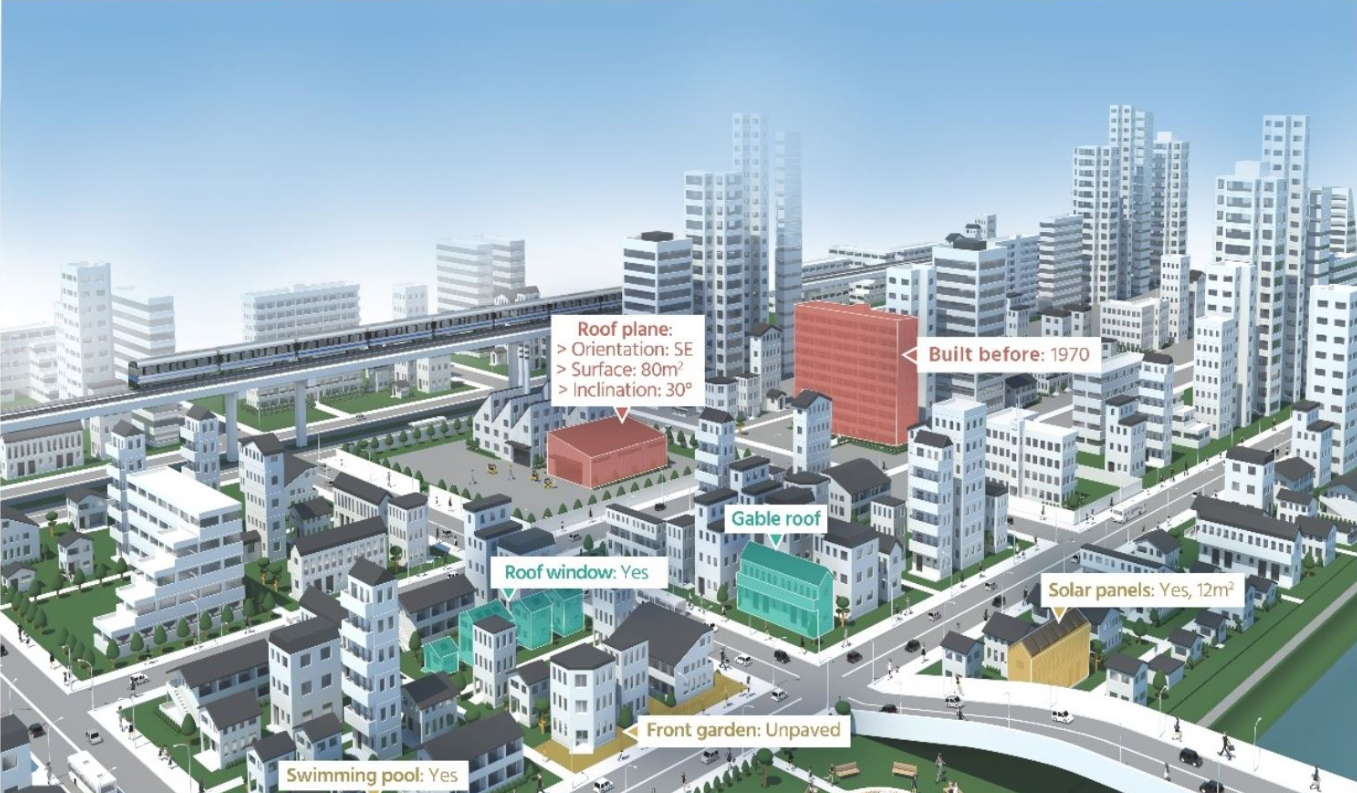
Expansion of Belmap, a 3D database of all buildings and addresses within Belgium and its neighbouring countries with a multitude of linked data variables, with inclusion of EO-derived information extracted via Artificial Intelligence techniques. Four new modules are planned to be developed and validated, i.e. Greenfields (construction of new roads and buildings), Building
age (including e.g. detection of buildings before/after the year that asbestos was banned), Gardens (garden surface versus buildings), and Roofs (classification of roof typologies, roof materials and structures).
Target:
Organization:
ESA
Directorate:
TIA
Keywords:
Artificial Intelligence
Disaster risk management
Earth Observation
Geospatial Data
Insurance
Land cover classification
Renewable Energy
Urban
Regions:
Europe
Type:
Demonstration Project
Status:
Completed

