Mapping and characterization of unstable slopes
Satellite data in support of landslide risk monitoring
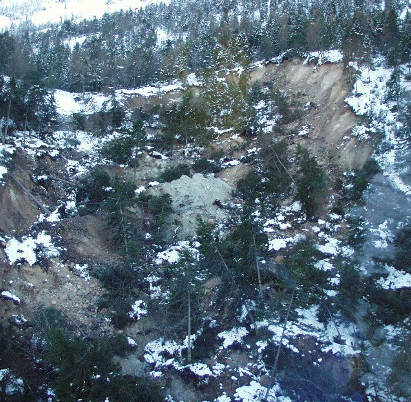
In this project, we will develop higher-order products based on combination of different InSAR datasets in order to ease the interpretation of site-specific deformation processes. The aim of our project is to define and develop geologically meaningful InSAR products to provide meaningful information about slope processes, which could extend the use of Sentinel-1 InSAR in landslide risk management in Norway.
Target:
Organization:
ESA
Directorate:
EOP
Keywords:
Alps
Arctic
Disaster risk management
Geo hazards
Safety
Regions:
Europe
Type:
Application
Status:
Ongoing