Forecasting agricultural productivity to improve agricultural supply chains
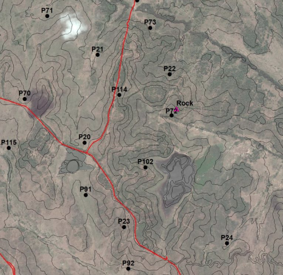
High resolution Earth observation (EO) imagery and digital surface models are used to provide rapid assessment of current land resources for defining Areas of Interest (AOI) for more specific ground truthing via detailed topographical, soil and geotechnical surveys to assess land agriculture potential. The used data is obtained and updated as and when required by the project, such as weekly crop observation imagery from Sentinel. This gives a rapid assessment of land potential for users in government or the agricultural sector, precisely targeting potential agricultural productive zones and discounting areas of obvious unsuitability or ecological sensitivity.


