activity - Fri, 11/12/2020 - 10:45
Using Earth observation for land cover and land use mapping
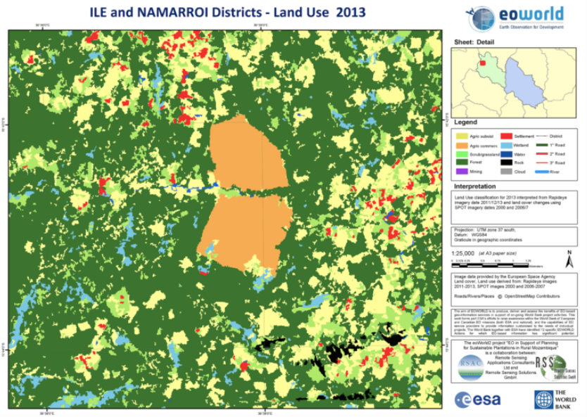
Land cover and land use mapping services are based on Sentinel and commercial high-resolution radar and optical satellite Earth observation (EO) data. Repeat mapping provides information to the land use, land use change and forestry sector on changes and the drivers of change to improve reporting, for example, on carbon emissions. Key users of the product are national and regional governments, international organisations, and other actors in the land management or forestry sector. Present day and historical output maps are suitable for development planning, including site suitability analysis relating to REDD+ afforestation projects, and input to natural capital valuation systems.
Target:
Organization:
UKSA
Keywords:
Agriculture
Deforestation
Forestry
Land Management
Regions:
Africa
Type:
Digital Platform Services
Status:
Completed