activity - Thu, 07/05/2020 - 15:05
Ground Instability Risk Profiler Service
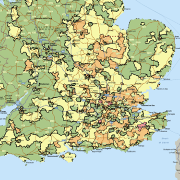
The aim of this study is to assess the technical feasibility and the commercial viability of an integrated solution to provide the insurance sector with the ability to better assess ground instability issues. InSAR data can track wider area changes in ground movement. Integration of these data sources with GNSS alongside the augmentation of core data profiling will significantly improve the quality and reliability of the GIRP service. The target users are all keys disciplines within the UK residential property insurance market, namely insurance companies, re-insurance companies, actuarial service providers, brokers, risk managers and subsidence management claims providers.
Target:
Organization:
ESA
Directorate:
TIA
Keywords:
Environment
Infrastructure
Natural resources
Safety
Security
Smart Cities
Wildlife
Regions:
Europe
Type:
Feasibility Study
Status:
Completed