Near Real Time Imagery
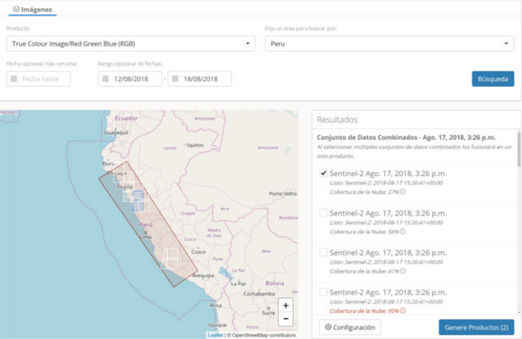
Satellite Data Services is a cloud-based service delivering access to near-real time analysis-ready satellite imagery and derived products from optical and radar Sentinel-1 and 2 satellites. Satellite Data Services products include metrics collection in all-weather, including night time and cloudy conditions, from radar satellites. They are a key input for modelling, monitoring, land management, and policy formulation targeted at users in government or the agriculture sector. Satellite Data Services provide i) analytics of land and water to give you current state of agriculture and environment from field to farm, to national coverage, ii) analysis of historic agricultural and environmental metrics, and iii) identify trends from satellite indices, such as crop performance, natural resource management and risk management.


