Management of fisheries and aquaculture
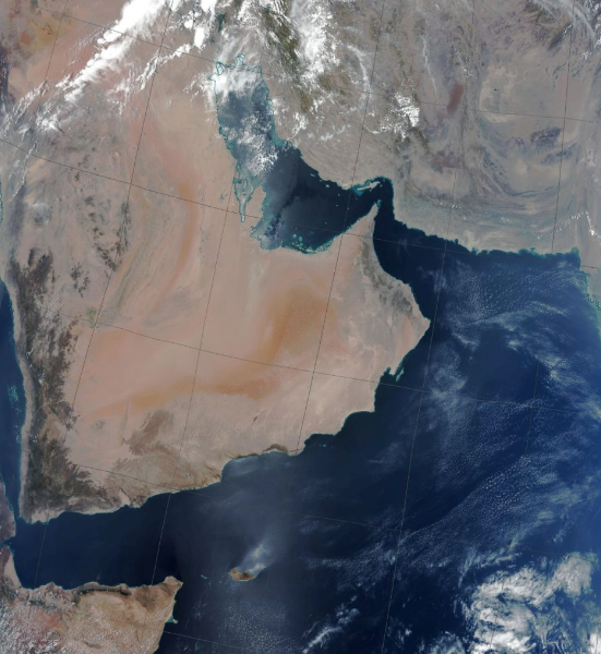
eOsphere satellite ground receiving stations are installed in countries worldwide allowing agencies to detect and monitor the marine environment using medium resolution visible and thermal-infrared Earth observation (EO) imagery to determine ocean water quality and sea surface temperature. The satellites used are EOS Terra and Aqua, Suomi-NPP, NOAA-20, and Feng Yun 3 meteorological satellites. They are all free-to-air, providing the multiple medium resolution, visible and thermal- infrared imaging radiometre channels required for routinely monitoring ocean water quality. The satellite ground station provides automated reception and processing of EO data to enable ocean quality products to be generated in near real time, typically within a few minutes of each satellite overpass. Large areas can be monitored many times each day in all but the cloudiest conditions or can be used to generate daily, weekly or longer aggregated cloud free datasets for climate data records. These EO derived ocean products can be used to monitor the health and productivity of marine habitats, increasingly under pressure from human activity and climate change, by detecting oil slicks, algal blooms, high chlorophyll and suspended matter concentrations and ocean fronts. In addition to ocean water quality products the eOsphere solution can be used to deliver many other medium resolution environment products including cloud mask, type and optical properties, vegetation indices, aerosols, atmospheric vertical profiles, land and sea surface temperature, land use classification, hot spot detection, snow and sea ice.