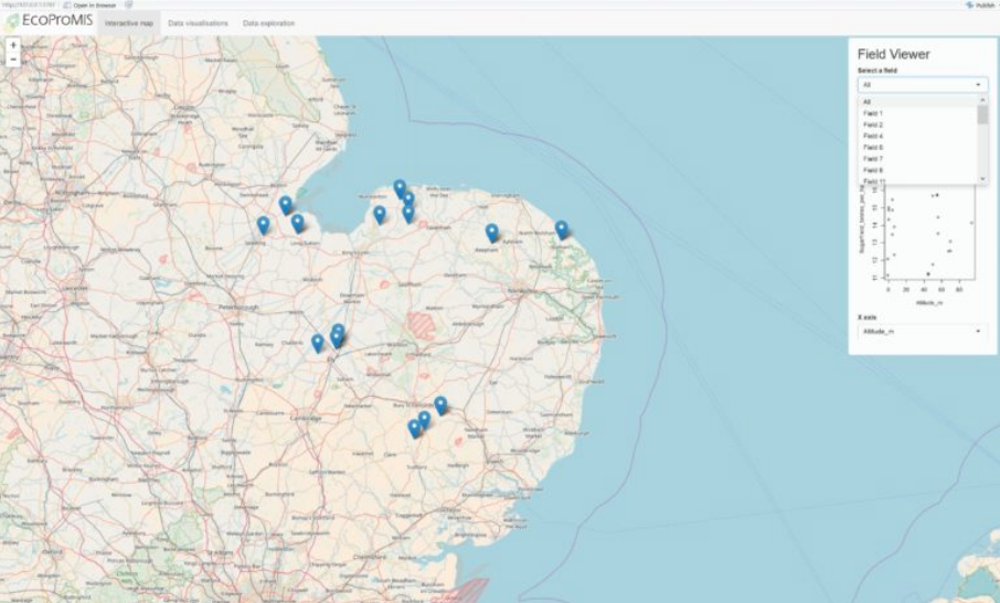
Ecological Production Management Information System
The EcoProMIS platform is developed per crop and country to address the economical, technical and environmental challenges faced by a wide range of agricultural stakeholders. The product integrates free Earth observation (EO) data from Sentinel, commercial EO data and unmanned aerial vehicle (UAV) drone data to provide accurate, timely and affordable information on crop conditions on a large geographic scale. EcoProMIS provides growers with advice regarding crop management, inputs, soil and biotic environmental information during the crop production cycles to improve decision making. By combining optical and radar satellite data with comprehensive crop production data the EcoProMIS creates “Knowledge for Free” for growers and partners, and “Decisions for a Fee” for customers.


