Satellite Image Analysis for Maintenance of Property Databases
Monitoring the development of large infrastructure projects
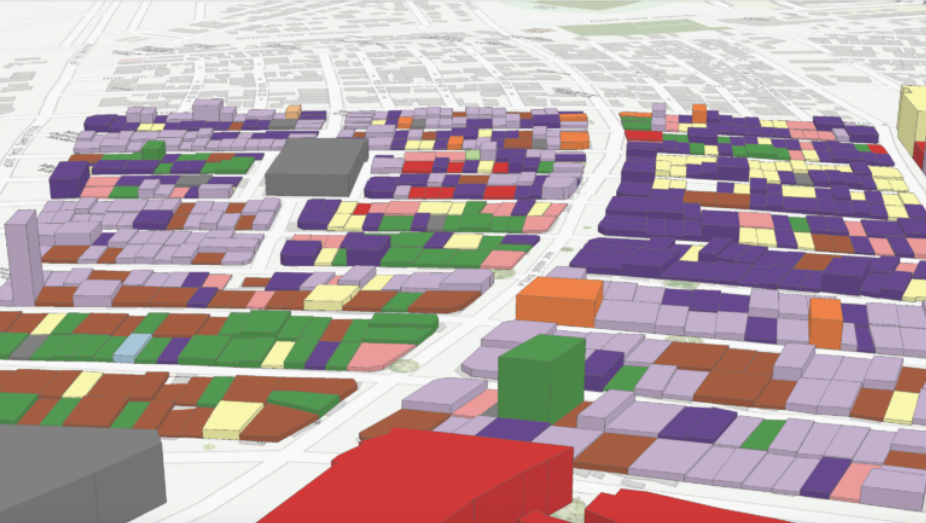
This solutions enables monitoring of detailed changes to buildings in urban and rural environments through the analysis of three- dimensional very high-resolution satellite Earth observation (EO) data. The product identifies buildings and land parcels that have changed and directs fieldwork assessment for detailed property data collection. This valuation information feeds property taxation calculations enabling revenue to be collected by the national tax authorities. The focus of this solution is to ensure that property records can be kept up to date, maximizing revenue potential for the benefit of local communities through the increased much-needed funding of local public services.